New Slide Collection Captures Kansas City in Flux
Cities are always changing. Old buildings are demolished, new ones built, and some that remain get major facelifts to meet current trends — sometimes only to be restored to an earlier incarnation a few decades later. New roads are paved and old ones rerouted as new areas of the city are developed and historic ones refashioned. This was particularly true in Kansas City during the mid-1970s to the mid-1990s. Fortunately, many of those changes–as well as many efforts at preservation–are captured in the Kansas City Landmarks Slides Collection, now available on KCHistory.org.
The Kansas City Landmarks Commission (now the Historic Preservation Commission) took thousands of photographs, developed as slides, of areas of the city that were in flux during those decades, and later donated them to the Kansas City Public Library’s Missouri Valley Special Collections. They have since been digitized, and thanks to a grant from the Institute of Museum and Library Services, staff members identified and described the buildings, plans, and other context for these 2000+ images.
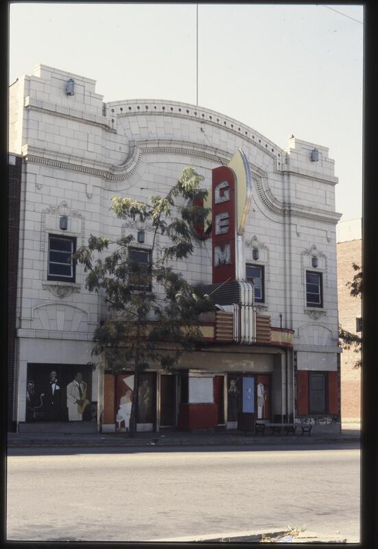
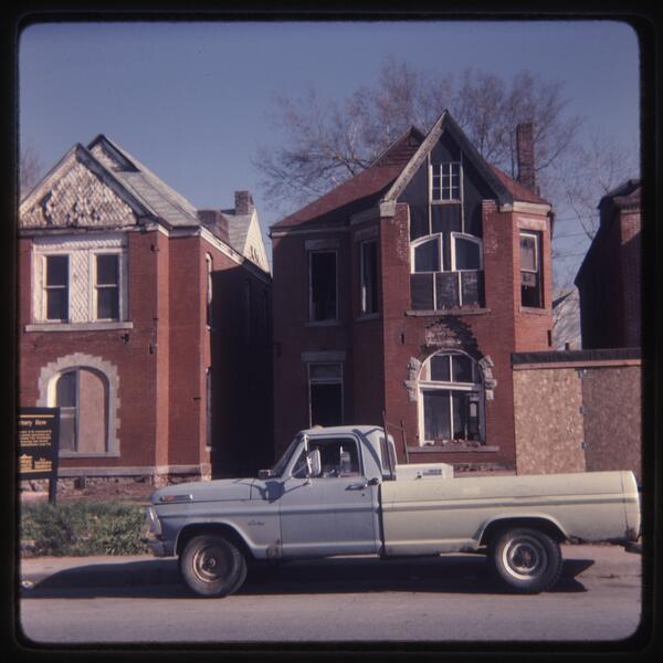
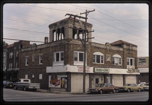
The color images provide a great glimpse into Kansas City’s recent history, and complement older collections such as the 1940 Tax Assessment Photographs. The collection includes a large number of houses and apartment buildings, identified by address, that will be of interest to people researching the history of their homes or the evolving character of a residential neighborhood. Many images document parts of the city at the time of National Register of Historic Places applications, including the South Side Historic District (around the intersection of 39th and Main Streets) and the Armour Boulevard corridor. Special attention was paid to photographing buildings designed by local women architects Nelle E. Peters, Mary Rockwell Hook, Alice Walton, and Alice G. Jackson, some of which have since been demolished. The Gem Theater, prior to its renovation, and other buildings in the 18th and Vine neighborhood are also pictured shortly before they became the subject of a new vision for the neighborhood. Photographs of historic areas along Barry Road in the Northland, and the Little Blue Valley to the east, are also included.
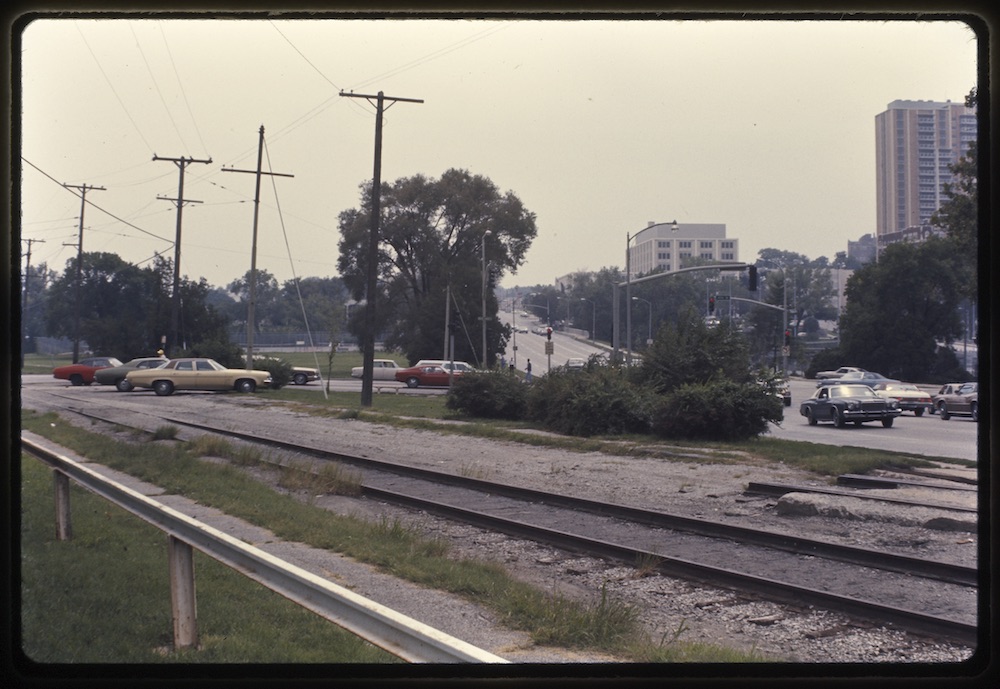
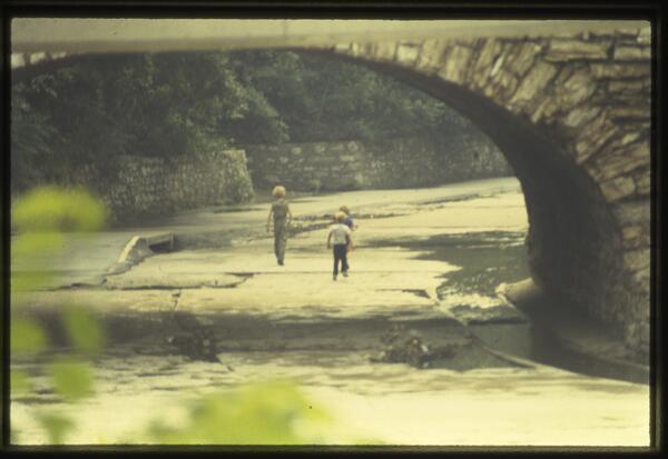
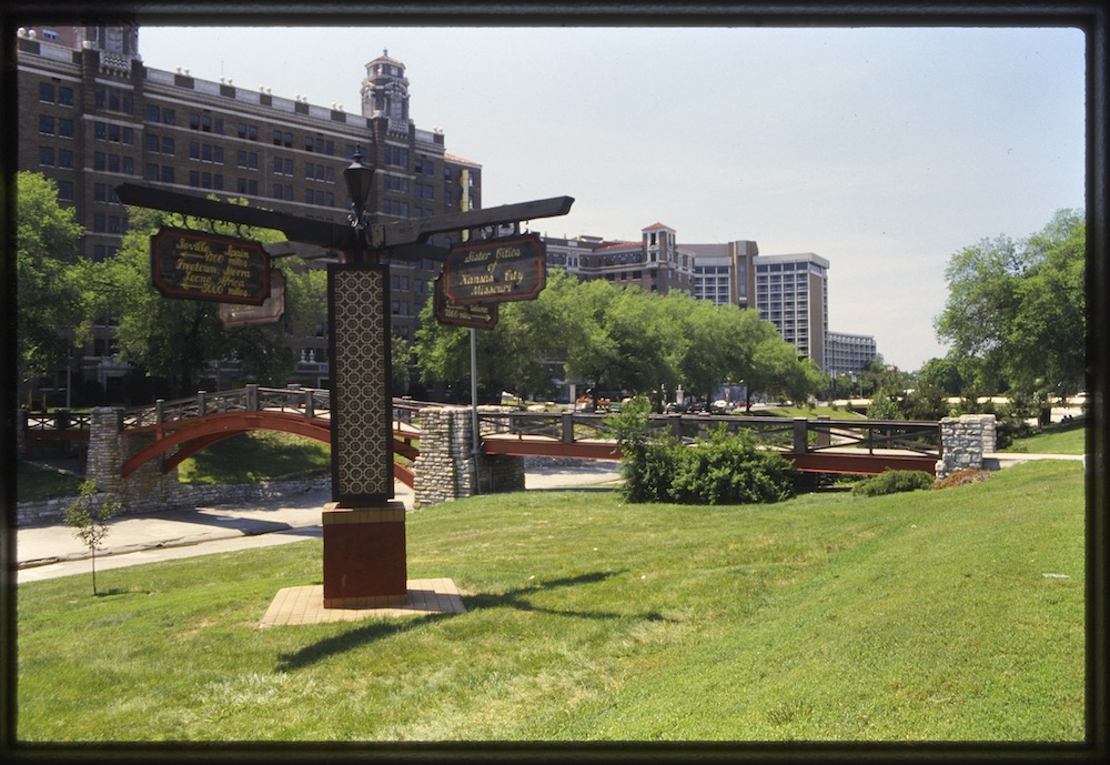
One subset of the collection documents the development of the Plaza Area Plan and major redevelopment of the Brush Creek corridor during the 1980s and 1990s. Materials include maps and diagrams illustrating land use and traffic patterns. Pictures illustrate old configurations of the streetcar route before its transformation into the Trolley Track Trail, and Brush Creek prior to the beautification and flood control projects of the early 1990s. There are even photographs of a concert by Stan Kenton and his band on the concrete creek bed.
Kansas City in the 2010s is remaking itself again, with a new streetcar line running down Main Street and new hotels, apartments, and office buildings replacing parking lots (which themselves once replaced older hotels, apartments, and office buildings). And once again, historic buildings are being restored and re-envisioned in many parts of town. A few decades in the future, we’ll be eager to see photos of today, to reminisce and mull over civic successes and regrets. For now, let’s enjoy the 1970s, ‘80s, and ‘90s as they become "historic."


