

Maps
New Maps Added to KCHistory
The Kansas City Public Library and Missouri Valley Special Collections are proud to announce the addition of 34 newly scanned maps to KCHistory.org.
A Map Above the Rest
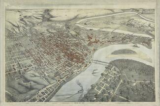
The latest map to be added to Missouri Valley Special Collections is one of the department’s most visually striking. This “Bird’s Eye View” or panoramic map, depicts Kansas City from an angled aerial perspective. Today this could be accomplished using satellites, computers, and sophisticated photography. But this map was printed in the mid-1880s. So, how’d they do it?
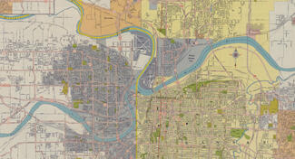
Reasonably Safe - Kansas City's Civil Defense Drill
A rather interesting map was recently donated to Missouri Valley Special Collections. It shows Kansas City area evacuation and emergency responder routes to be used in the event of nuclear attack.
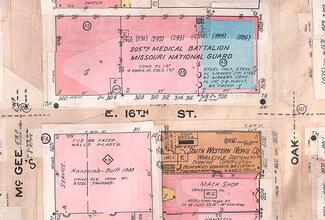
The Sanborn Fire Insurance Maps
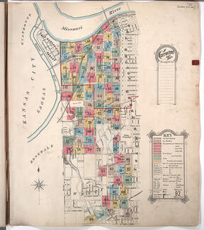
Fires, a hazard of the industrial revolution, often caused uninsured property owners to suffer great financial loss. To protect against such calamity, fire insurance companies sprang up all over the U.S. Policy writers, however, could not always inspect properties in person. In 1866, D. A. Sanborn, an enterprising surveyor in Massachusetts, began creating specialized maps to help under-writers evaluate the risks.